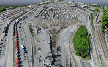
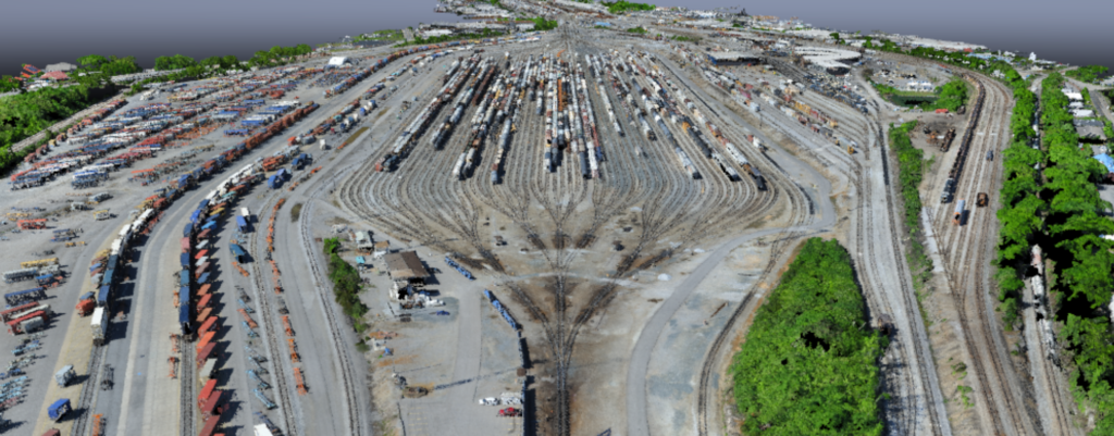
Zephyr UAS, Inc. (ZUI) provided aerial photography and aerial mapping services to provide as-built data to CSX for one of its network’s largest hump yards. ZUI’s innovative UAV-collected data was integral in providing an as-built of the yard in record time and with accuracies that surpassed the client’s expectations. The surface data allowed the team’s designers to provide reliable track plan and profile information to CSX to determine the existing condition of this incredibly busy yard terminal, allowing them to accurately and expediently analyze their current railroad operation.
Data was collected in only 2 days and in such a manner that existing operations were not disrupted, whereas traditional survey methods would have required vacating tracks and impacting operations. Instead, ZUI provided accurate 3D information of this dynamic and historic rail hump yard with no impact to CSX business.
- Location: Nashville, TN
- Date Completed: May 2017
- Services Provided: Aerial Mapping

