
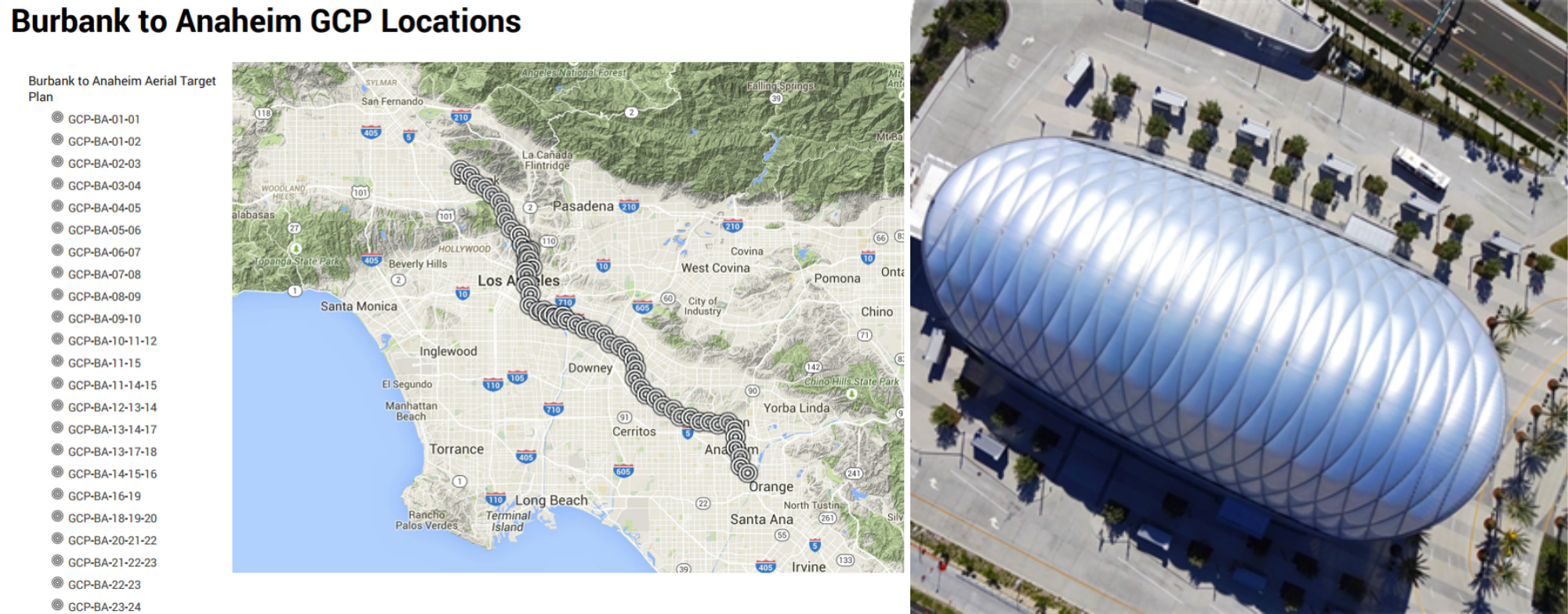
Zephyr UAS, Inc. (ZUI) provided collection services for 42 miles of ortho-rectified photogrammetry and mapping in support of the environmental and preliminary engineering analysis of the high-speed rail program in Southern California.
This urban corridor is the most challenging of the 500-mile system planned by the State Authority, where it will co-exist with commuter rail trains, intercity trains and freight trains in the second busiest rail corridor in the country. Members of the ZUI team were in charge of track alignment alternatives for the Burbank to Los Angeles segment and provided oversight of the preliminary engineering for the complete Burbank-Los Angeles-Anaheim corridor.
This was the first large-scale UAV project Zephyr UAS undertook. The aerial imagery was collected in less than half the time and at a fraction of the cost of traditional manned aerial surveys, improving project schedule and expenses. Through the modeling process, Zephyr’s team provided phenomenal image accuracy, twice the resolution of the best manned aerial product. Utilizing On Board RTK Drones for accuracy and high-definition products combined with Bentley software, ZUI produced detailed Building Information Modeling and Digital Terrain modeling of 61 square miles of right-of-way corridor.
This project was a finalist in the 2017 Bentley Be Inspired Awards for BIM Advancements in Rail and Transit, and highlighted by Sensefly and the California High Speed Rail Authority as an innovative use of drone technology.
Bentley Year In Infrastructure:
https://www.yearininfrastructure-digital.com/yearininfrastructure/library/
SenseFly Customer Case Study:
Marc Cañas interview on UAS Tech in Rail:
https://www.youtube.com/watch?v=xZd8b_M845E
How drones slashed first High-Speed Rail’s Surveying costs: