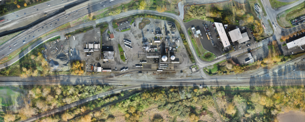
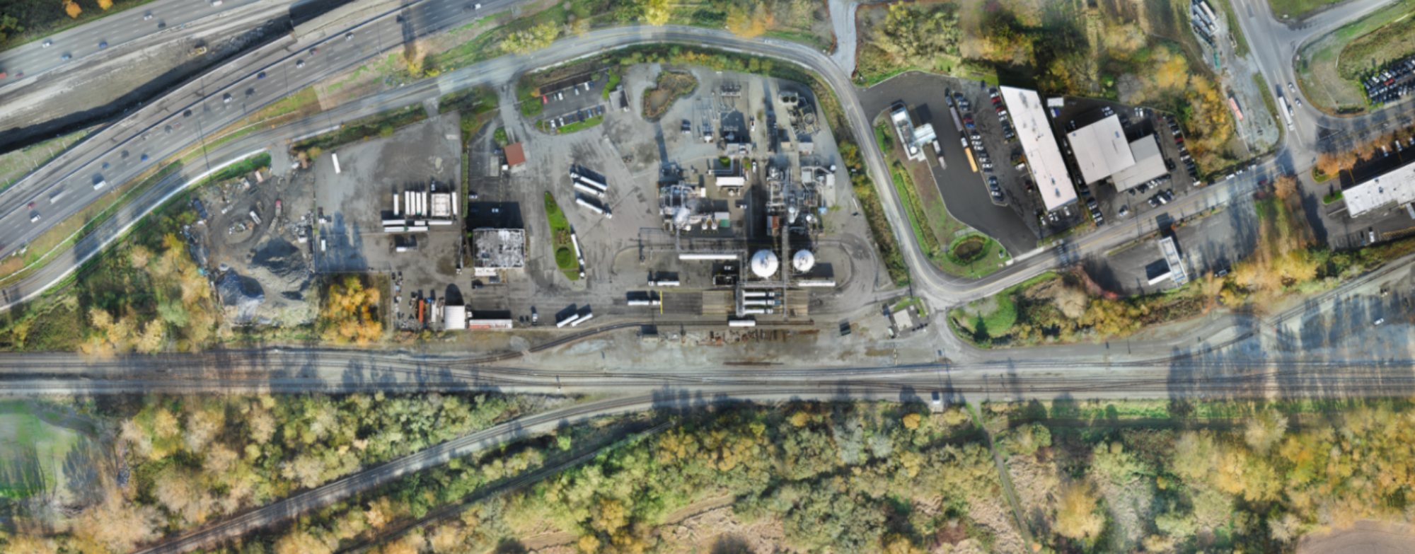
Zephyr UAS, Inc. (ZUI) conducted an aerial mapping survey and managed the performance of supplemental ground survey for this critical project for Union Pacific Railroad (UPRR). The North Loop Project proposed the addition of approximately 5,000 feet of new trackwork infrastructure to support UPRR facility operations at Bullfrog Junction in the Tacoma, WA area. However, there was no current aerial mapping data available to support the progression of design. ZUI utilized its state-of-the-art unmanned aerial vehicle (UAV, or drone) to acquire high-resolution aerial imagery that was converted to accurate 3D data by photogrammetric means. Our team performed data collection without affecting existing railroad or yard operations. Only 48 hours later, ZUI delivered an ortho-rectified mosaic and a highly accurate digital terrain model (DTM) as well as contour elevations. This information was essential to allow UPRR’s engineering staff to progress with development of horizontal and vertical alignment design.