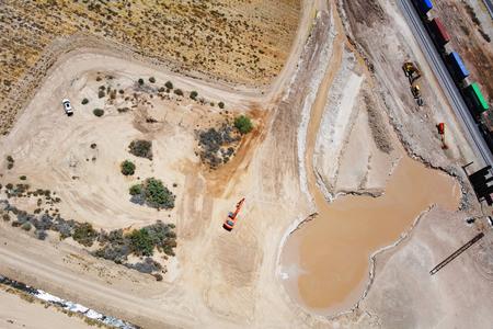
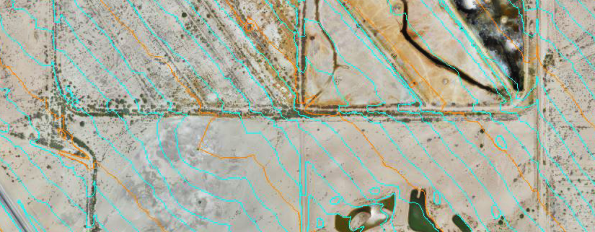
Due to dangerous thermal conditions from the springing activity of a geyser adjacent to the existing mainline, Union Pacific Railroad (UPRR) needs to study the possible realignment of approximately 4.5 miles of mainline track along the Yuma Subdivision near Niland, CA. As it continues to spring, the geyser is eroding the existing ground and thus damaging the integrity of the existing track structure.
Zephyr UAS, Inc. (ZUI) responded to an emergency request to collect aerial mapping data for a 1,500-foot swath centered on the proposed realignment corridor for this portion of trackwork infrastructure in Imperial County. Our team was on-site within 48 hours and collected nearly 5 miles worth of mapping data over the course of two days in temperatures over 102ºF. ZUI also collected photo and video using a thermal sensor to determine any weaknesses in the existing trackwork structure. ZUI produced a highly-accurate digital terrain model (DTM) for UPRR’s design purposes within a week from the initial mission request.
- Location: Niland, CA
- Date Completed: June 2018
- Services Provided: Aerial Mapping, Aerial Photography & Video, Video Editing Services