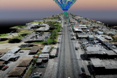
As a Subconsultant to Transtech Engineers, Inc., ZUI provided aerial mapping and data collection services for almost two miles of Florence Avenue from Salt Lake Avenue to Walker Avenue in the City of Bell, California. The data ZUI collected served as the basis for engineering design of pedestrian safety improvements within the existing public right-of-way of Florence Avenue. Proposed improvements include civil roadway measures at road intersections, crosswalk and sidewalk improvements, and landscape enhancements.
ZUI provided an ortho-rectified aerial mosaic, a dense 3D point cloud, and a digital surface model (DSM) for the entire project area. ZUI was able to collect and process the data for this project within three days of NTP.
- Location: Bell, CA
- Date Completed: April 2018
- Services Provided: Aerial Mapping
