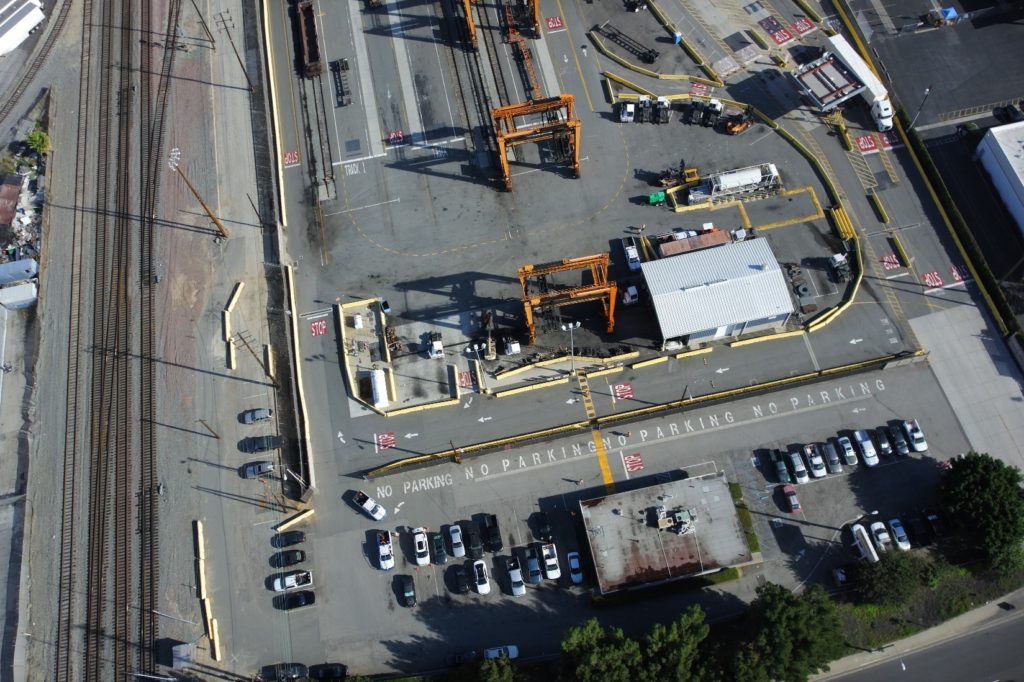
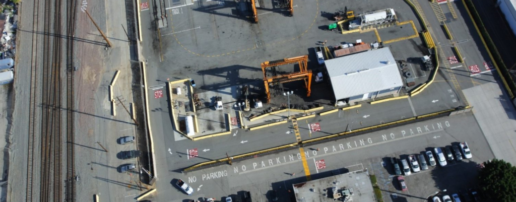
Zephyr UAS, Inc. (ZUI) provided aerial photography and aerial mapping services to BNSF Railway for the upcoming yard expansion of its Intermodal Facility in Commerce, California. The Commerce Intermodal Facility is the newest Intermodal Hub in the Pacific Southwest Region. With on-going operations within its support and working track areas, collecting data without service interruptions is a critical success factor for the Railroad. ZUI was able to collect the requisite imagery and 3D topographical data to support BNSF’s future design efforts without any disruption to railroad operations. ZUI utilized a fixed-wing unmanned aerial vehicle (UAV) to collect high-resolution imagery, as well as 3D topo data accurate up to 1 cm.

