

SERVICES
ENGINEERING DESIGN
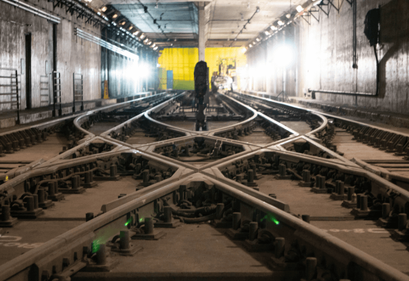
Zephyr Rail knows the structural, civil and traffic engineering needs of rail projects. Whatever your project requires—roadway realignments, at-grade crossing design and improvements, grading and earthwork, drainage and utility design, passenger station design, signing and striping, worksite traffic control, traffic signal design—Zephyr Rail has the expertise.
Engineering Design
- Feasibility Studies and Conceptual Design
- Track Alignment
- Site Civil Design
- Engineering Design
- At-Grade Crossing Design
- Computer Aided Design/Drafting
Program Management and Construction Management
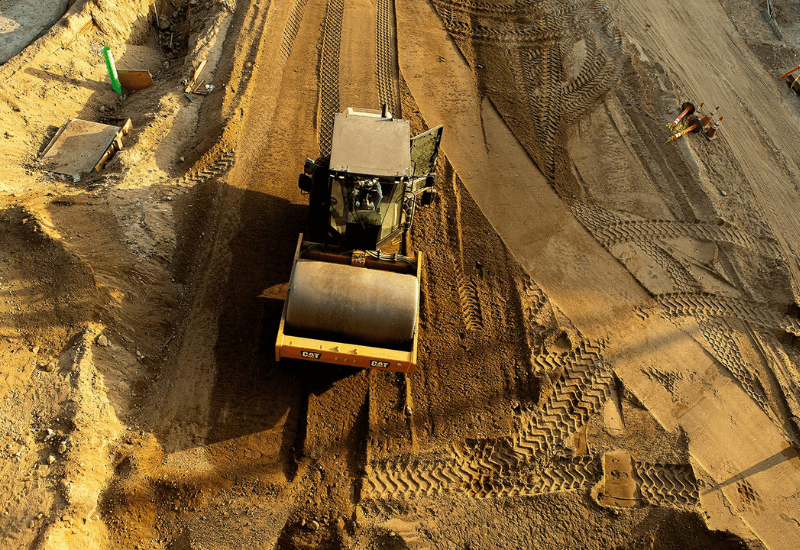
Zephyr Rail reviews plans, looking for constructability conflicts and right-of-way issues. We develop budgets, cost estimates and procurement packages with efficiency and cost-effectiveness in mind. We coordinate and monitor your project and stakeholders, providing project controls, agency collaboration, inspection services and resident engineering. Our managers understand the attention to detail and relationship management required for efficient and cost-effective rail project construction.
Program Management and Construction Management
- Contract Administration
- Program Management
- Construction Management
- Coordination and Agency Liaison
- Procurement Packages for Rail Materials
- Constructability Review
- Resident/Office Engineering
- Project Controls
- Risk Management
- Schedule Management
- Change Management
- Document Control and Management
- Claim Prevention and Management
REMOTE SENSING
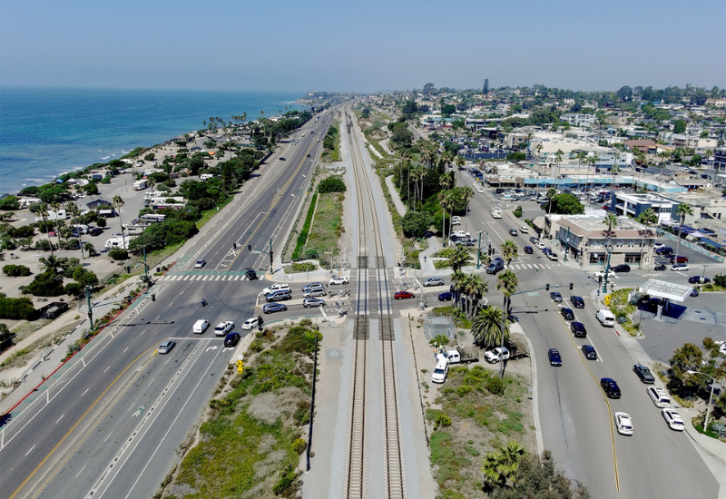
We deliver precision-engineered aerial data using the latest drone technology and advanced geospatial processing platforms. Our FAA-licensed, engineer-led UAS team captures and maps complex sites, in congested airspace, on active rail corridors with speed, safety, and accuracy.
From high-resolution orthoimagery (as low as 0.5 cm/pixel) to survey-grade terrain models and realistic 3D reconstructions, we transform UAV data into actionable intelligence. Read 2-inch letters on signage from above. Conduct detailed virtual site walks. Extract planimetric features with confidence. Clients receive software-ready data that’s built for real-world engineering decisions.
We utilize industry-leading software tools for collecting, processing, and delivering our data. We continually adapt to new tools as they become available to ensure the highest quality data for our workflows and our clients.
Engineer-driven. Data-focused. Built for decision-making.
Remote Sensing
- High Resolution Orthoimagery
- Digital Terrain Modeling
- Inspection Imagery
- 4K Video Flyovers
- Video Editing for feature callouts
- High Resolution Aerial Mapping
- Aerial Photography